Brief description
Verlaine, a walk in the Ourthe and Néblon valleys, will appeal to keen walkers and lovers of beautiful scenery. Let your eyes roam the landscape!
Notes
The walk starts a short distance from the Romanesque church of Tohogne, which is well worth going to see.
Magnificent scenery
There’s quite an uphill stretch at the start, but keep going: the view at the top makes it all worthwhile. Have a look in all directions: towards Houmart straight ahead of you, over the Ourthe valley and the start of the Ardennes forest behind you, and towards the Belgacom tower – a useful landmark on this walk – to your right.
Shortly after you have taken the path to the right, you will come to the lime tree of Hubinne or Hubenne Cross (already mentioned on the Ferraris map and doubtless older). This was probably planted as a boundary tree. The current lime tree is said to be over 200 years old, and despite being severely cut back on several occasions it has always recovered so far..
Alder
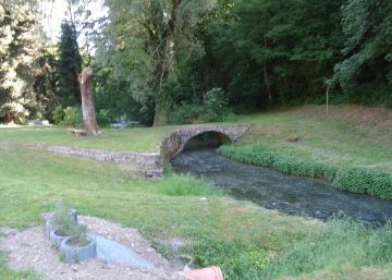
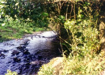
Not much further on, the path takes you down towards the little Houmart mill, powered by a stream called Nanchenioule. After the mill, the stream winds through the meadows to reach the village of Verlaine. It is fringed by alders, which grow well in wet conditions.
Alder wood has a reputation for being rot-proof, and hardens in contact with water. It was used to make stilts in Venice (for which elm was also used) and clogs; a black dye was extracted from the bark and twigs for use in felt-tip pens. The bark’s properties make it a remedy for fevers. The Indians used to hollow out the trunk of the American variety to make canoes.
Verlaine, a village nestling on the hillside
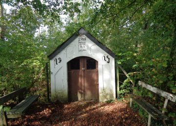
Be careful when crossing the national road, as the traffic is very fast. The village of Verlaine comes into view. Its 18th-century mill marks the entrance to the village. A steep climb takes you to the village hall, which you leave on your right to take the path opposite. After a little more persistence, the steep ascent comes to an end. You are in a place called Tombeu, where a number of Gallo-Roman tombs were discovered. Don’t forget to turn around to admire the village perched on the hillside, contemplating the stream flowing at its feet.
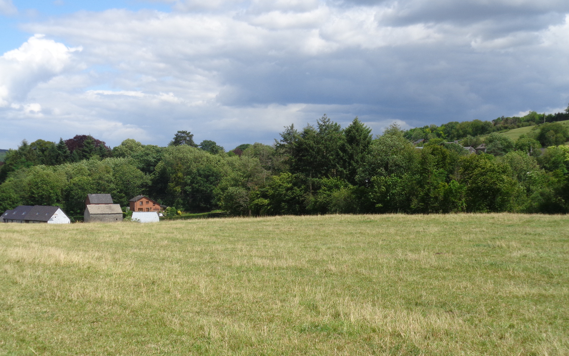
Herbet: a mainly farming hamlet
Now it’s time to leave this superb scenery behind, passing through a small wood and across a cropfield. After another short climb, you find yourself back on the ridge overlooking the Ourthe valley, above the village of Herbet: to your left is the Province of Liège, opposite is Saint Rahy hill and the Mont des Pins with the village of Izier in the distance and the hamlet of Herbet in the foreground, and to your right the countryside stretches away towards the Famenne region. As you walk along the ridge, there is plenty of time to admire the view. On the right, observe the hawthorn hedges – an excellent place for birds to shelter – and a number of cherry trees which are part of the birds’ food store.
At the end of the path, on the left, is Herbet’s cross, located midway between Tohogne and Herbet. All the crosses in this area are tended carefully by the locals, who are keen to ensure their survival.
As you head back to the starting point, admire the hedges that divide up the landscape.
Practical information
Start: Tohogne, Rue de la laiterie, opposite no. 5
Waymarker: two blue rectangles on either side of a white rectangle
Distance: 9.5 km
Approximate duration: 2 hours 45 minutes
Level of difficulty: moderate
Si le fichier s’ouvre directement dans le navigateur :
- sur ordinateur, clic droit + Enregistrer la cible du lien sous.
- sur téléphone, appui long + Télécharger le lien