Brief description
The Fond Wenin walk passes through the Calestienne and provides an opportunity to learn about the crops grown in this fertile area of Wéris. Farming has been practised in this village since Neolithic times.
Notes
Limestone, combined here with a layer of silt, produces a fertile soil which has been cultivated for a very long time. Dolmens and menhirs, it will be recalled, date from the Neolithic era: this prehistoric period saw the birth of crop and animal farming.
The different cereal crops grown on the Calestienne
The Calestienne is an area where various cereal crops are grown for livestock feed. In particular, spelt is grown here in winter, a variety of wheat whose grains are covered with their husks when harvested and are very resistant because they are well adapted. The harvest takes place in August. In Walloon, wheat is called spelt.
Pas Bayard
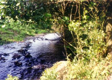
After turning off the route taken by the Megaliths walk, you come to woods growing near some houses. You are now by the side of a little brook in a place known as Wénin. There are some superb trees along this section of the walk, including at least four oaks and three beeches that definitely go back well before our time. Where the brook flows, note the typical species found on damp ground: willows, poplars and alders are intolerant of dry conditions. There are numerous springs in the vicinity of Oppagne and Pas-Bayard. As you pass through the hamlet of Pas-Bayard, notice the many house sparrows that live around the farms. This bird has finally acquired protected status.
Pas-Bayard
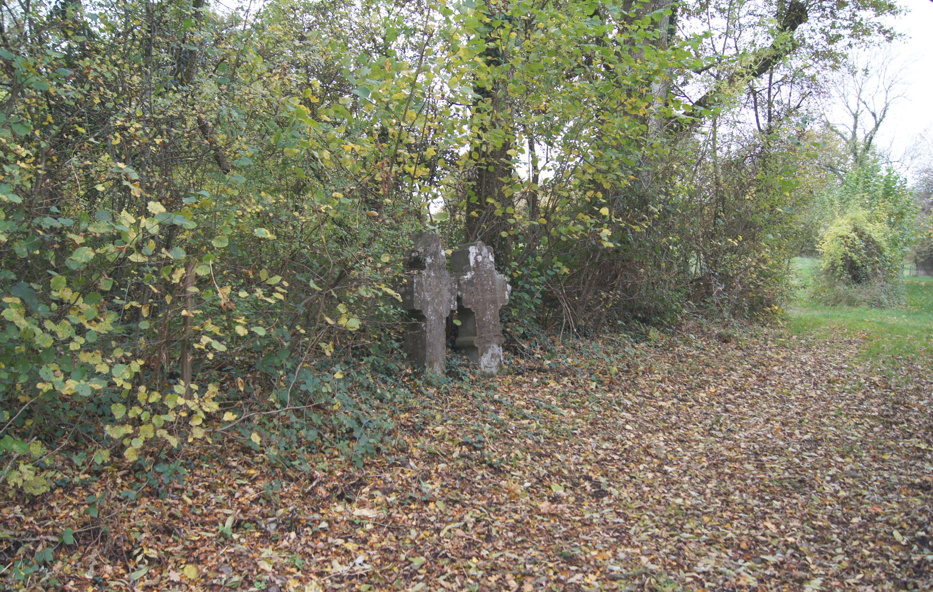
Two commemorative crosses
Just before you reach the N841 again, at the edge of the path that branches off to your left, you will come across two limestone crosses which have stood here since 1733, in memory of two young people from Mormont. Returning from a festival in Barvaux, they fell asleep and they were asphyxiated here by fumes from a nearby lime kiln. The limestone subsoil meant that lime kilns were common in this area at one time. People used to travel long distances to obtain lime, which was used at the time for building.
Practical information
Start: Wéris (Place Arsène Soreil)
Waymarker: yellow cross 2
Distance: 8 km
Approximate duration: 2 hours 40 minutes
Level of difficulty: easy
Defining features: village – forest edge
Si le fichier s’ouvre directement dans le navigateur :
- sur ordinateur, clic droit + Enregistrer la cible du lien sous.
- sur téléphone, appui long + Télécharger le lien