Brief description
The Fond de Vedeur walk, which passes through woods and open country, starts in Durbuy. The route winds through the region’s woods and open country. There are significant climbs and descents and magnificent views over the Ourthe valley.
Notes
The walk leaves Durbuy via the Liège road, following the Ourthe. Look out for the old city hall (1862) and the old municipal school.
You then enter the woods at the junction with the road to Warre just after the large limestone building – a bark mill constructed in the Fond Vedeur in 1813 as an annex to a tannery.
The route takes you uphill alongside a stream called the Vedeur, and after three kilometres brings you out at the ponds of Sainte Geneviève and the saint’s miracle-working water.
After a well-deserved rest, the climb continues to the heights of Le Hesse, the former leper colony. Turn and admire the amazing scenery!
Shale
While you are still in the fields, starting from the ponds of Sainte Geneviève and before linking up with the Bois de Viné walk, you will notice shale under your feet. These rocks were transformed by pressure and heat in a mountain range, without any change in their chemical composition.
As you follow the road, your route will intersect the Verlaine walk.
A little agriculture
Pass over the crossroads. You are now at the entrance to the charming little village of Warre. From this point, on a little plateau at an altitude of around 250 m, there is a magnificent view of the start of the Ardennes and the Calestienne (a limestone zone).
The countryside here is dominated by open fields with crops including spelt in the summer and mustard, protecting the soil from potential damage caused by heavy rainfall.
Field maple
As you leave the village of Warre, you will notice the many field maples. This species tends to grow in full sun, preferably on chalky soils, and resists the cold well.
Flowering begins in May and generally lasts until June.
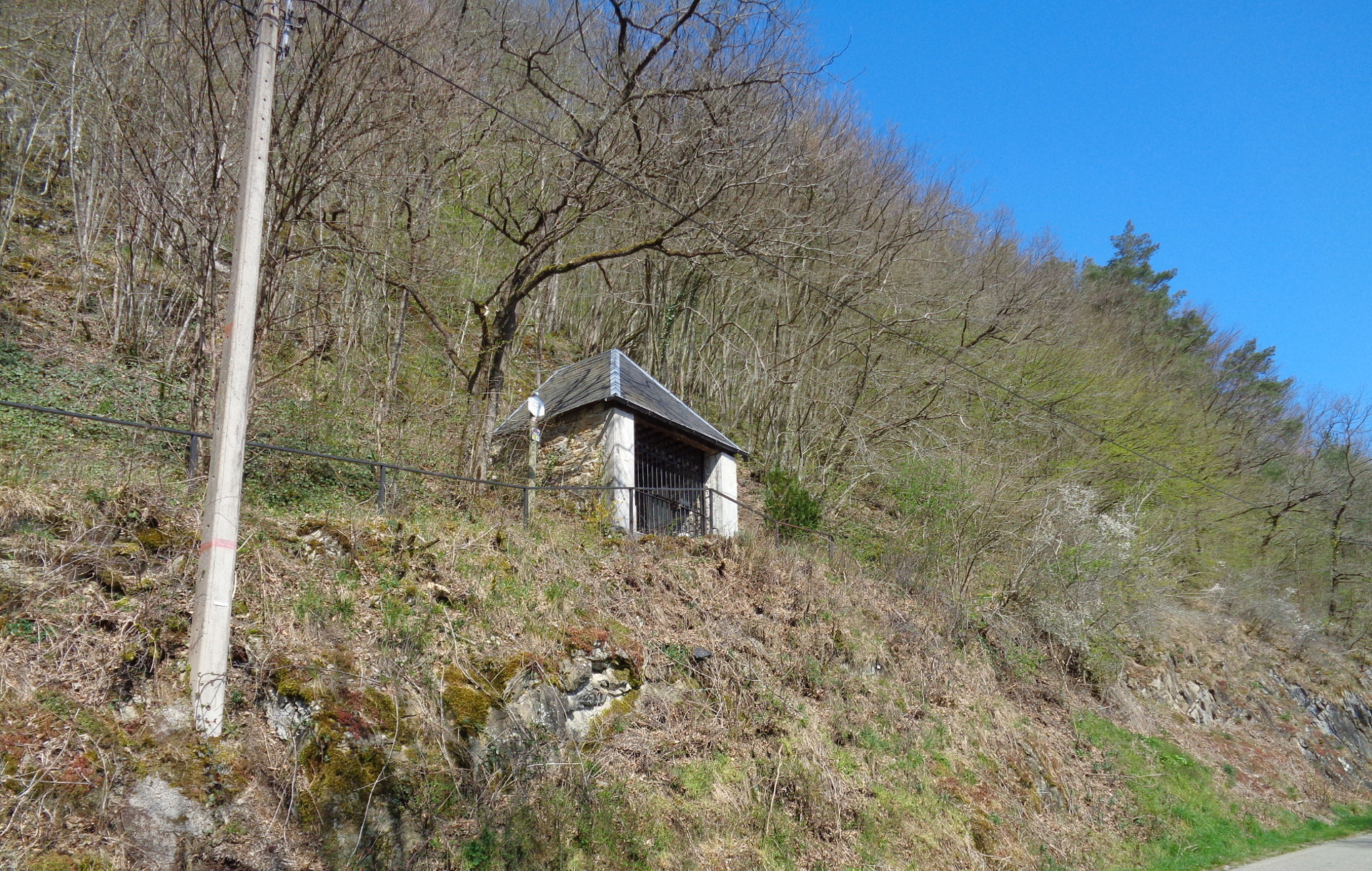
Finally, you will reach Durbuy again, passing in front of the Notre Dame de la Cherra chapel.
Practical information
Start : Durbuy (place aux foires)
Waymarker: red rectangle
Distance: 8 km
Approximate duration: 3 hours
Level of difficulty: moderate
Distinctive features: forest – remarkable views – boots in wet weather
Si le fichier s’ouvre directement dans le navigateur :
- sur ordinateur, clic droit + Enregistrer la cible du lien sous.
- sur téléphone, appui long + Télécharger le lien


