A dramatic start
This little mountain bike route takes a steep path right out of the village to get your legs working! The hamlet of Herbet consists mainly of imposing square farmhouses made from limestone rubble. It is located on the first ridge of the Condroz, an agricultural region with rich soil.
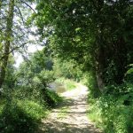
Superb view of the Ourthe valley
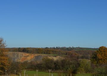
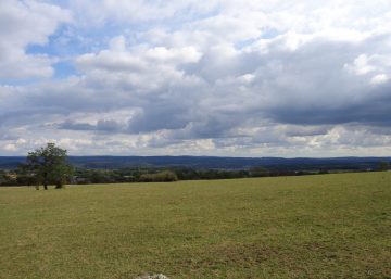
After a short slope and a right-hand turn, admire the view on your right: in the distance are the Ardennes, then a small valley in the middle distance, the valley of the Aisne and the valley of the Ourthe running at right angles to it, and in the foreground to the hamlet of Herbet. A section of nearly 30 km of the Ourthe valley passes through the territory of Durbuy and forms its backbone.
A dizzying descent to the river
The route heads towards the village of Verlaine; get ready for some amazing descents towards the river. Be careful, as there are some tight bends in the village.
Verlaine
The sometimes steep streets of the village form a circle whose lowest points are the new church and the old cemetery.
This circle is formed by Chemin de la Miniée, Chemin du Puits, Place Vendôme and Chemin des Charençons.
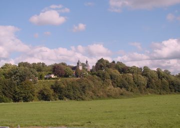
The other roads radiate from this circle out of the village. There are several chapels in Verlaine, a church dating from 1901 that is nicely located on elevated land overlooking the Nanchenioule stream, and several old houses including an old water mill.
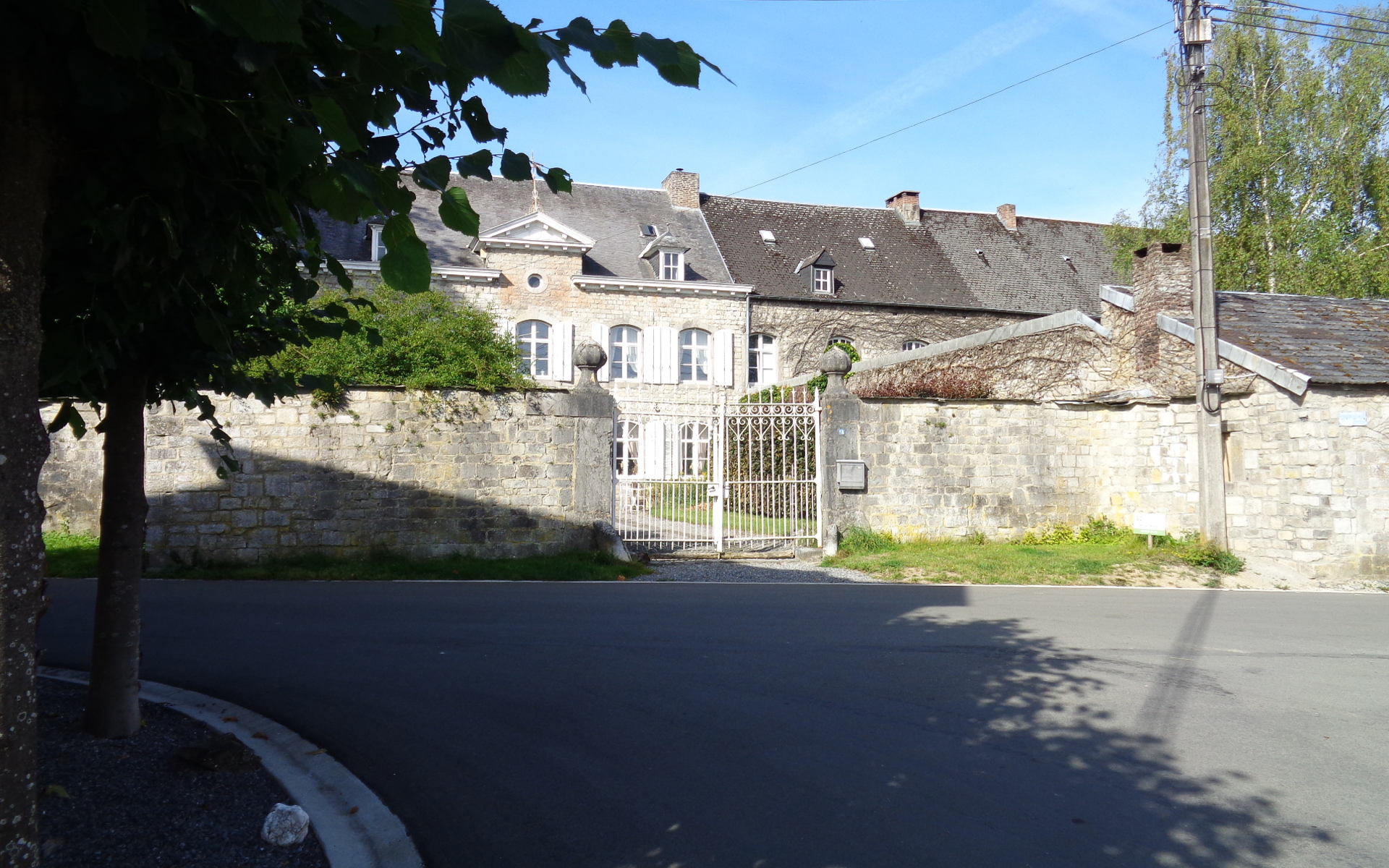
However, the most striking buildings are located on Place Vendôme. They are a group of three adjoining structures: a castle (the core of which is said to have been built in the 17th century), a square farmhouse with a porch dated 1772 and a castle chapel. These buildings are located on the left-hand side of the route at the bottom of the village.
Leisurely return to Bomal
If you wish to reach the municipality of Ferrières and the village of Sy, take the footbridge attached to the railway bridge.
Our route does not cross the river, but follows it all the way to the finish. After Palogne (the holiday resort across the river), admire the crag called La Roche aux Corneilles and its beach. Many swimmers come here in the summer, attracted by the deeper water and the place to perch.
However, this is not a recognised swimming spot!
The first sign that Bomal is approaching is Ferme de Petit Bomal on the left (a former defensive site at the foot of Saint Rahy hill) and the wastewater treatment plant on the right.
Practical information
Route 7
Start: Bomal, Place du Sassin
Distance: 15 km
Total climb: 281 m
Approximate duration: 2 hours
Distinctive features: 65% paths
Si le fichier s’ouvre directement dans le navigateur :
- sur ordinateur, clic droit + Enregistrer la cible du lien sous.
- sur téléphone, appui long + Télécharger le lien