Brief description
The Ferme de Strasbourg walk passes through the woodland and open country around Villers-Sainte-Gertrude.
Notes
Villers Sainte Gertrude
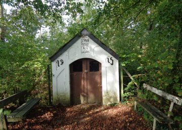
At the start of the walk, there are numerous relics of the past to look out for: the castle gate’s guard stones, the water tank and its pump, the old crosses in the graveyard around the church, the war memorial, the Maltese cross in front of the perimeter wall and, a little further on, the boundary-marking wayside shrine dedicated to the Virgin Mary. All these objects bear witness to the history of this area.
Magnificent scenery
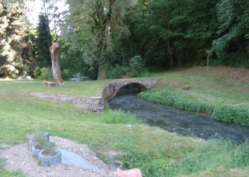
Leaving the village, head down towards the Pont le Prêtre stream. Take a moment to survey the scenery: you can just see the village of Ozo on the right, while Izier to your left can be recognised from the tower of Ferme Jacot and the water tower.
Just after the small bridge, take the lane to the left, Voie de Forte Terre.
Ozo and Ferme de Strasbourg
Be warned: there’s an uphill stretch to reach Ozo, a small village well known for its goat farm (open every day during the holidays except Mondays and weekends all year round).
When you arrive in the village, turn right into the main street and at the church continue on the right-hand lane. In the centre of the village you will cross the route of the Saint Rahy walk.
The lane passes through Ferme de Strasbourg, the farm this walk is named after.
Izier
After the little wood, you will see that the entrance to Izier has numerous hedges, which are so precious for maintaining links between habitats and supporting biodiversity.
You will see a fortified farm which was part of the defensive system of the Duchy of Luxembourg in the Middle Ages.
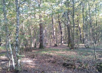
Leaving the village at its highest point, the route heads towards the wood. You will reach the little stream that comes from Le Boulac and follow it to Villers-Sainte-Gertrude. Be sure to admire the magnificent beech grove on the left, which is part of a large wooded estate that is home to many forest animals, including deer, wild boar, squirrels, foxes, nuthatches, jays and various types of woodpecker.
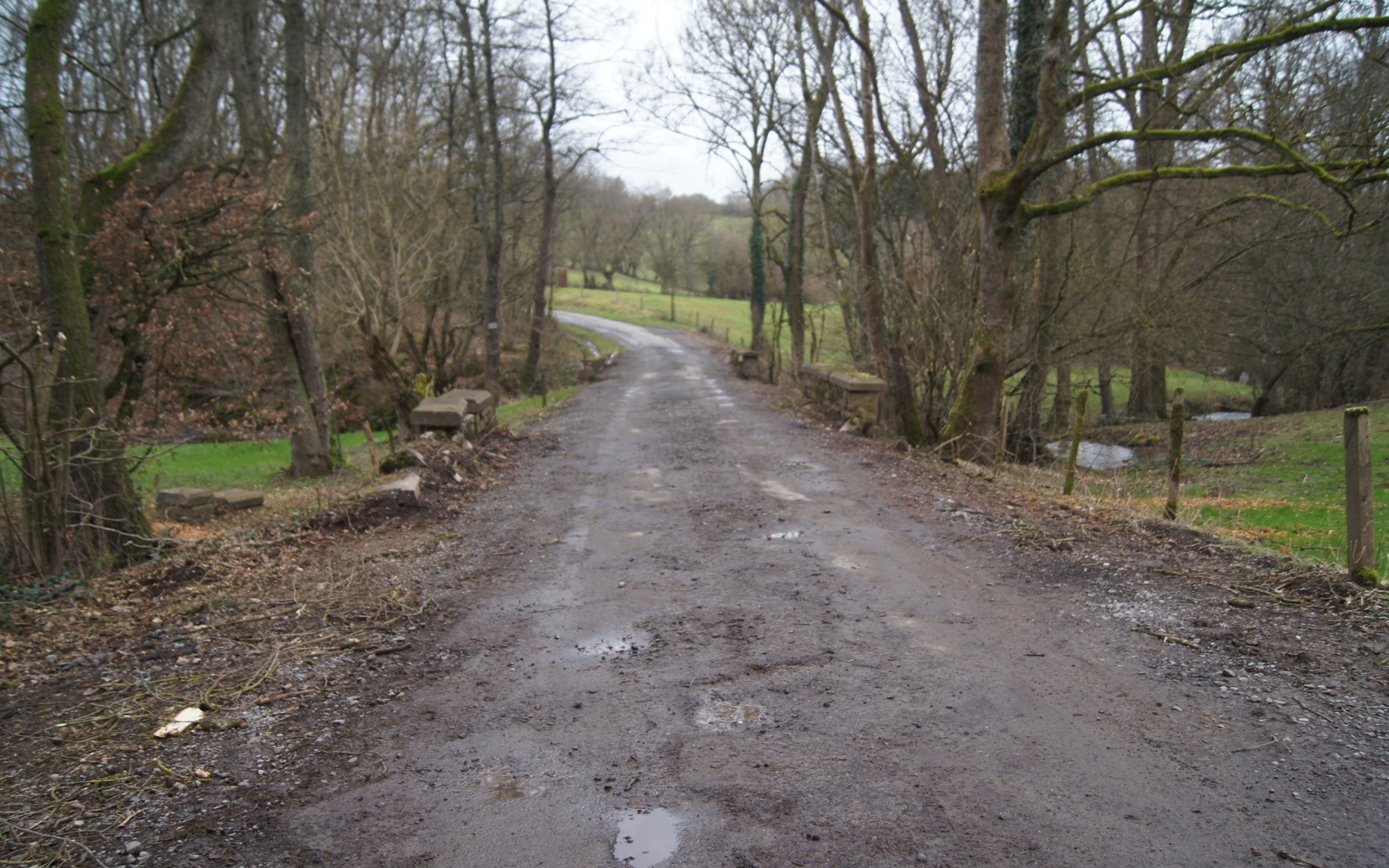
After leaving the woods, there’s still some way to go before you return to the starting-point, Rue Pont le Prêtre. At the top of this street, in a hedge on the right, you will find a small, ancient stone cross, the Croix du Coreux.
Practical information
Start: Villers-Sainte-Gertrude
Waymarker: two red rectangles around a white rectangle
Distance: 6.5 km
Altitude: 340 m
Approximate duration: 2 hours
Level of difficulty: moderate
Defining features: open country and woodland
Si le fichier s’ouvre directement dans le navigateur :
- sur ordinateur, clic droit + Enregistrer la cible du lien sous.
- sur téléphone, appui long + Télécharger le lien