The calcareous grasslands and crags of the Ourthe valley are characterised by exceptional biodiversity.
From a natural, cultural and historical point of view, they constitute a unique regional heritage. Whether you’re walking or riding your mountain bike, this route takes you to the heart of this fascinating world, where you will discover the different factors that shaped it in the past and are crucial to its survival today.
The calestienne
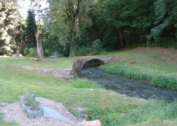
Over the long ages that followed the retreat of this ancestral sea, the Ourthe slowly carved its way through these rocks, which are harder than the surrounding shales. The resulting erosion explains the area’s relief, with its narrow valleys, rocky passes, caves and sunny hillsides.
Humans and the earth
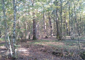
This rolling landscape, dotted with picturesque villages and ancient ruins, bears witness to the activities of the men and women who settled in this region long ago. In the difficult living conditions of that time, the region’s inhabitants slowly made lasting changes to their environment. Through their extensive farming and forestry practices – now a thing of the past – such as clearing, itinerant grazing and family farming of the dolomite, they encouraged animal and plant species associated with open environments that are dry, hot and sunny.
These geological conditions and human activities led to the development of the calcareous and rocky grasslands. These natural habitats are among the treasures of our regional environment: they are special places where it is possible to observe exceptional flora and fauna that are adapted to the almost Mediterranean conditions that prevail here.
Restoration and maintenance work is being managed by the non-profit organisation Natagora asbl.
Practical informations
You can visit the route’s eight sites on foot or by mountain bike:
– either in a single 27-km loop starting from Barvaux railway station,
– or in two loops of 11 and 16 km, which can also be walked,
the first starting from Barvaux railway station and the second from Bomal railway station.
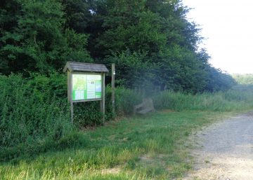
The map (downloadable PDF) uses pictograms to show you the points of interest and the location of the educational panels at each site.
Si le fichier s’ouvre directement dans le navigateur :
- sur ordinateur, clic droit + Enregistrer la cible du lien sous.
- sur téléphone, appui long + Télécharger le lien